A PROTECTED LANDSCAPE AT THE EDGE OF THE CITY
The Cranbrook Community Forest spans more than 2,000 hectares along the east and north edges of the city, offering forest, grassland, ponds, and open views just minutes from downtown. Protected since 1987, it’s a place where daily walks, longer rides, and quiet time outdoors fit easily into a Cranbrook stay.
Access is simple, the terrain is varied, and the trail network supports both quick outings and longer explorations.
THE TRAILS
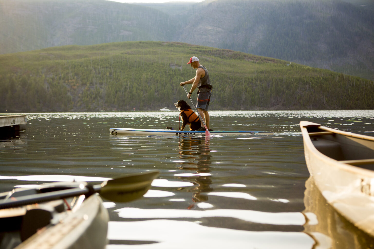
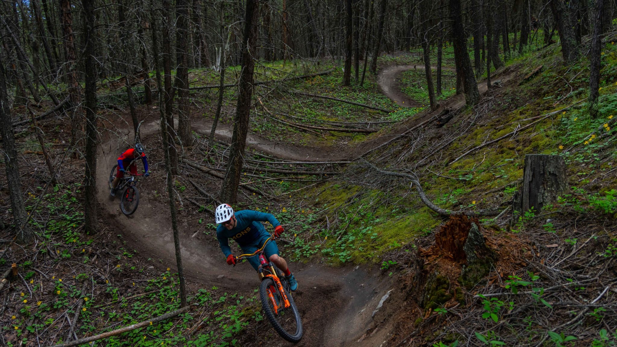
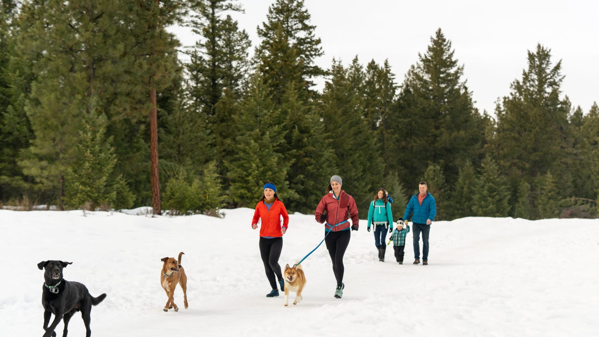
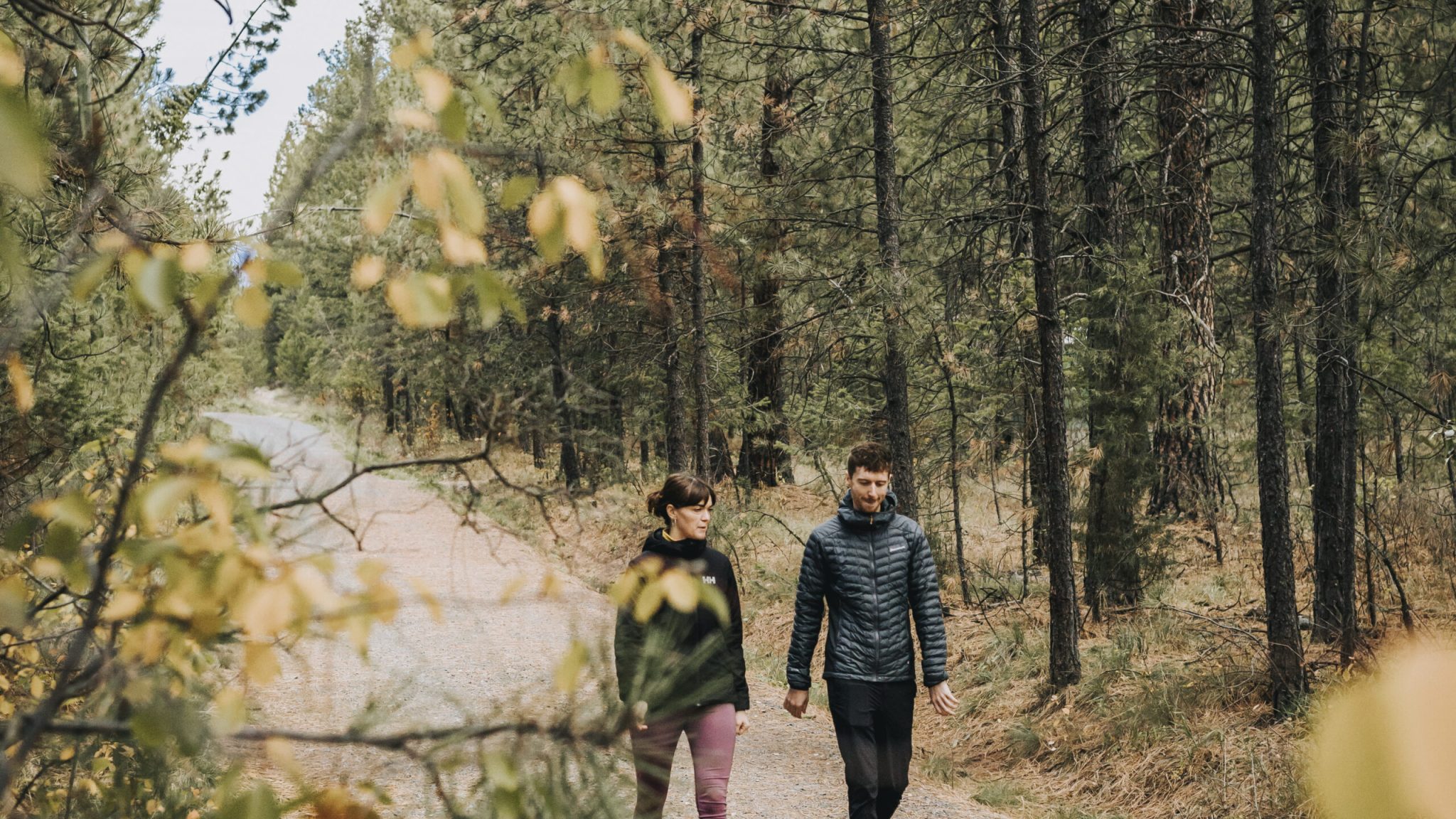
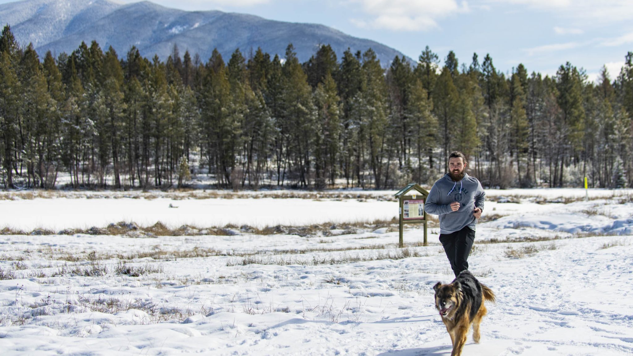
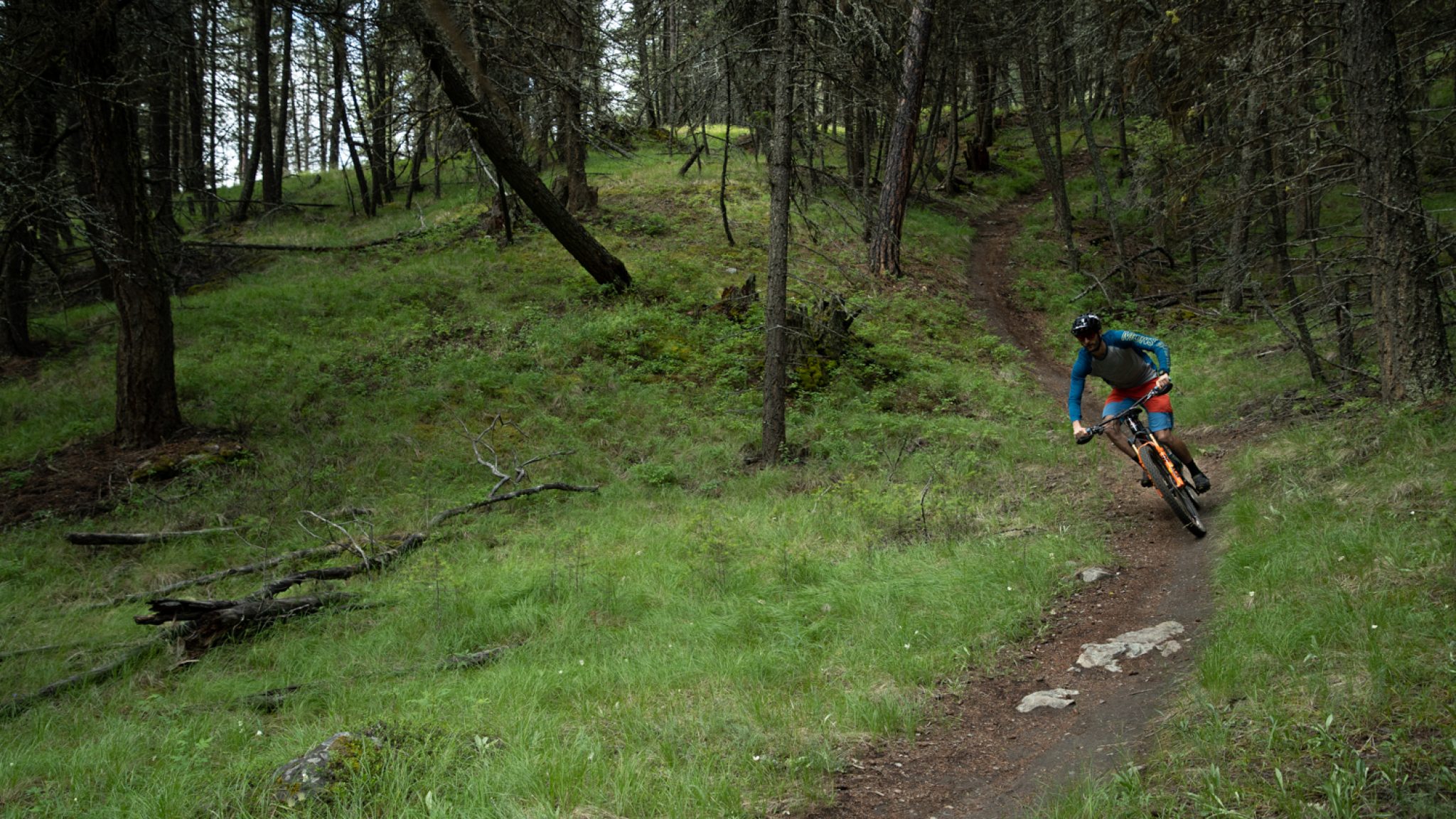
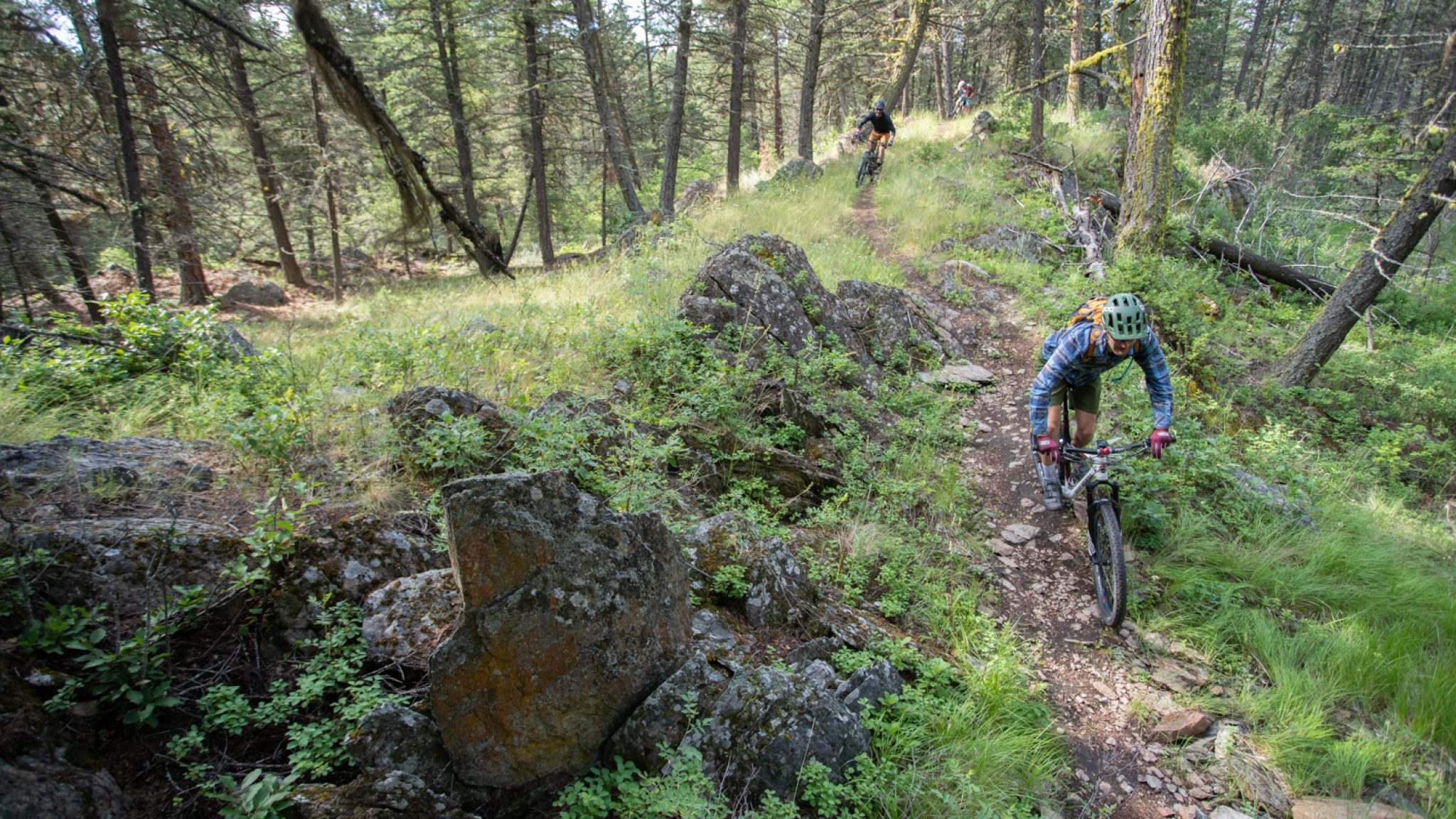
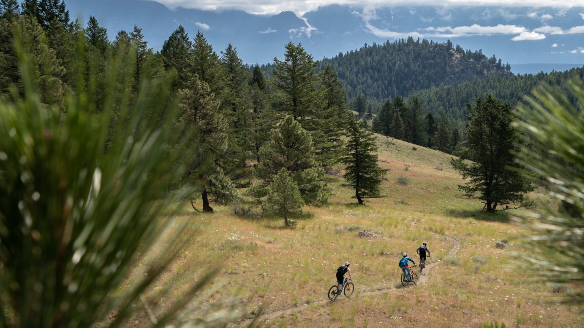
A wide system of multi-use trails moves through forested knolls, open grasslands, and around small lakes. Routes support hiking, mountain biking, horseback riding, wildlife viewing, snowshoeing, and cross-country skiing, depending on conditions.
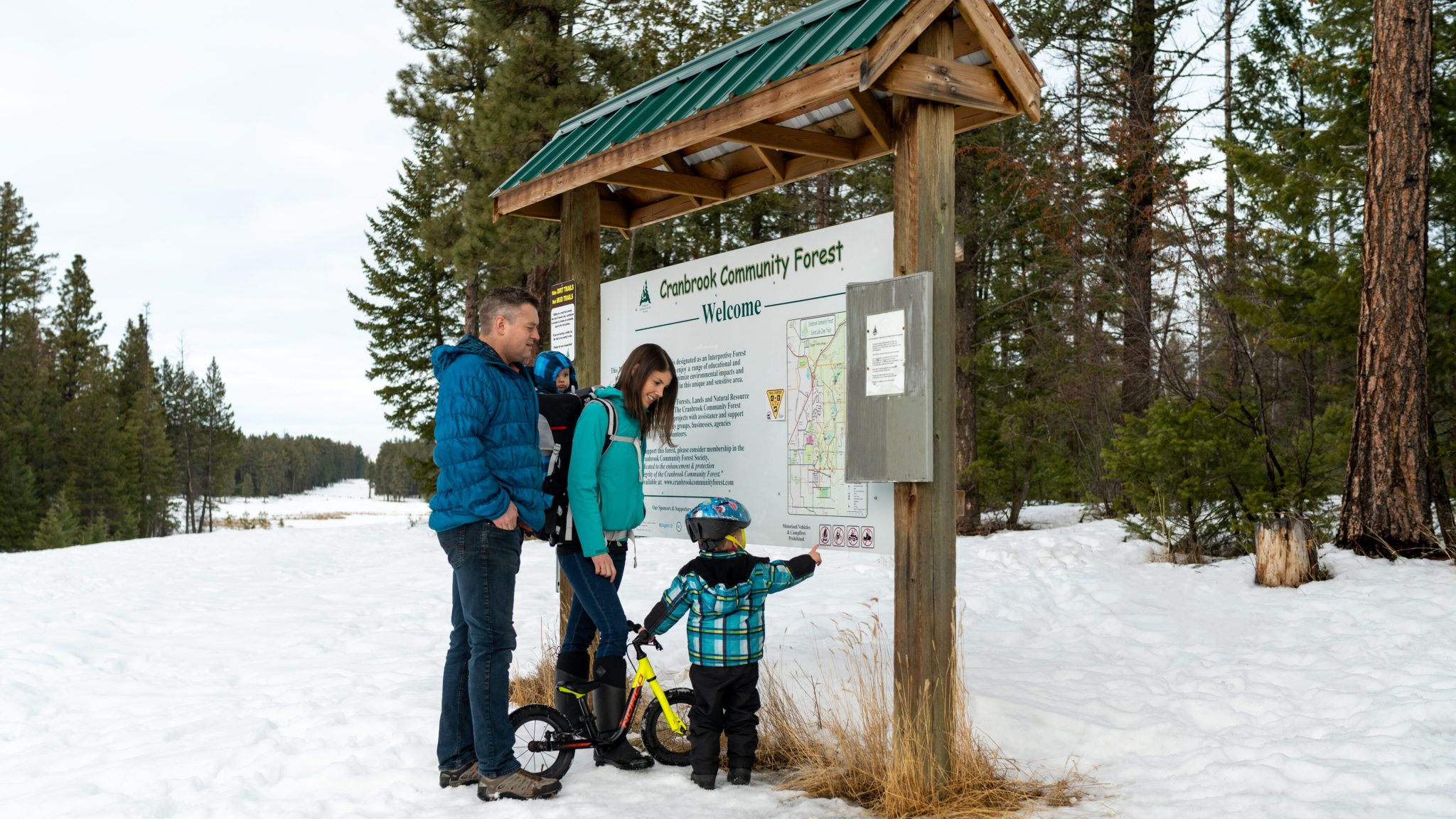
For easy navigation, the Cranbrook Community Forest Society maintains three signed loop trails that guide visitors through different sections of the forest. Trail maps and route information are also available at kiosks at major access points.
Cranbrook Community Forest mountain biking trailsLAKES, GRASSLANDS, AND WILDLIFE
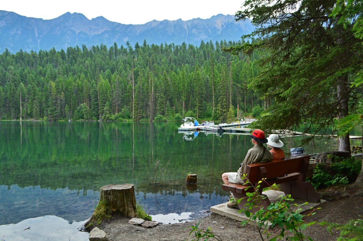
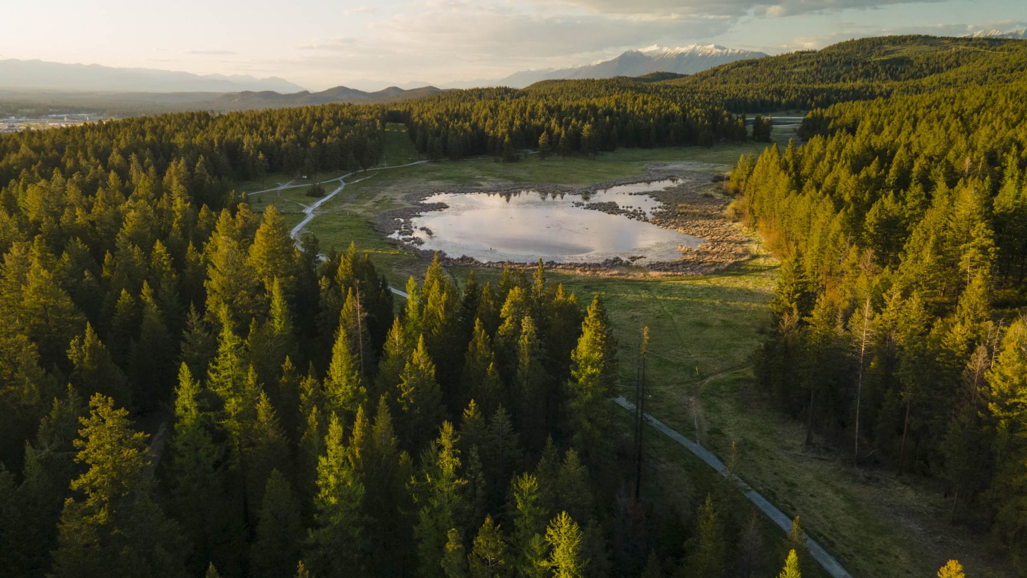
Alkali Lake, Sylvan Lake, and Kettle Lake offer picnic areas with tables and washroom facilities, along with strong birding opportunities throughout the year. A short self-guided interpretive trail circles Kettle Lake, adding context to the landscape.
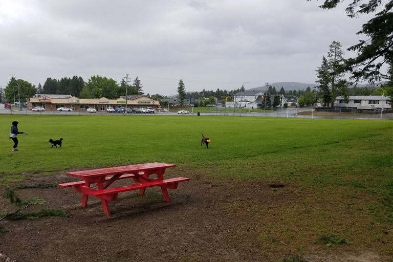
Wildlife is part of the experience. Bears and cougars are occasionally present, and visitors are encouraged to travel with others, make noise, and carry bear spray. Dogs are permitted but must be kept under control at all times.
ACCESS POINTS
The forest can be entered from multiple locations around Cranbrook.
South End access is reached by driving east on 2nd Street South past the Cranbrook Golf Course, where the road becomes Mount Baker Road. A small parking area provides quick access to ponds and nearby trails.
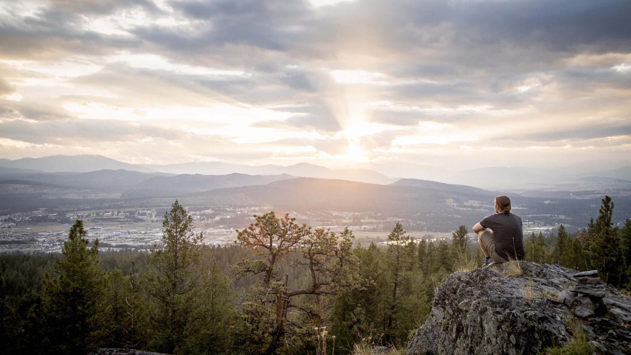
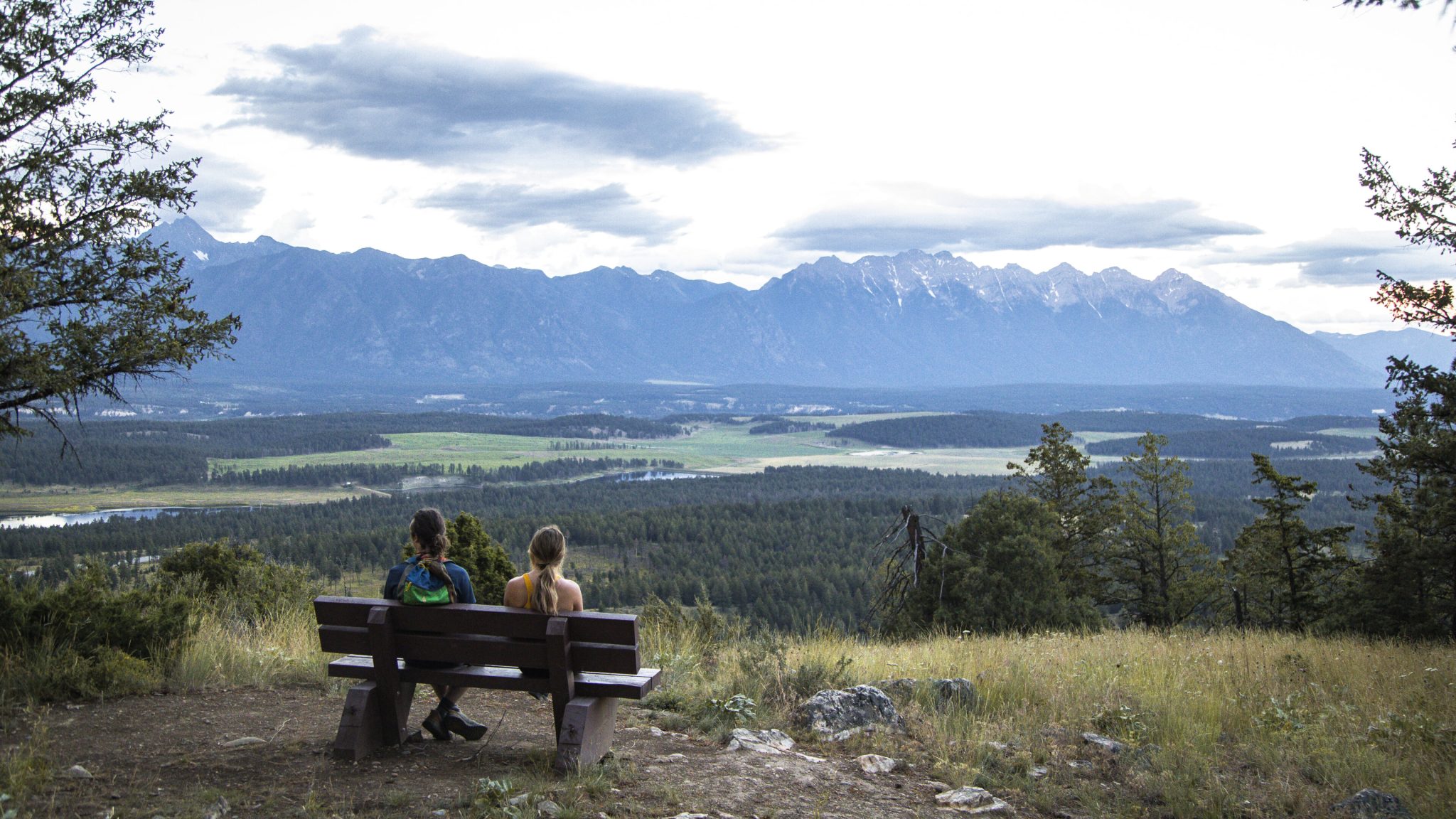
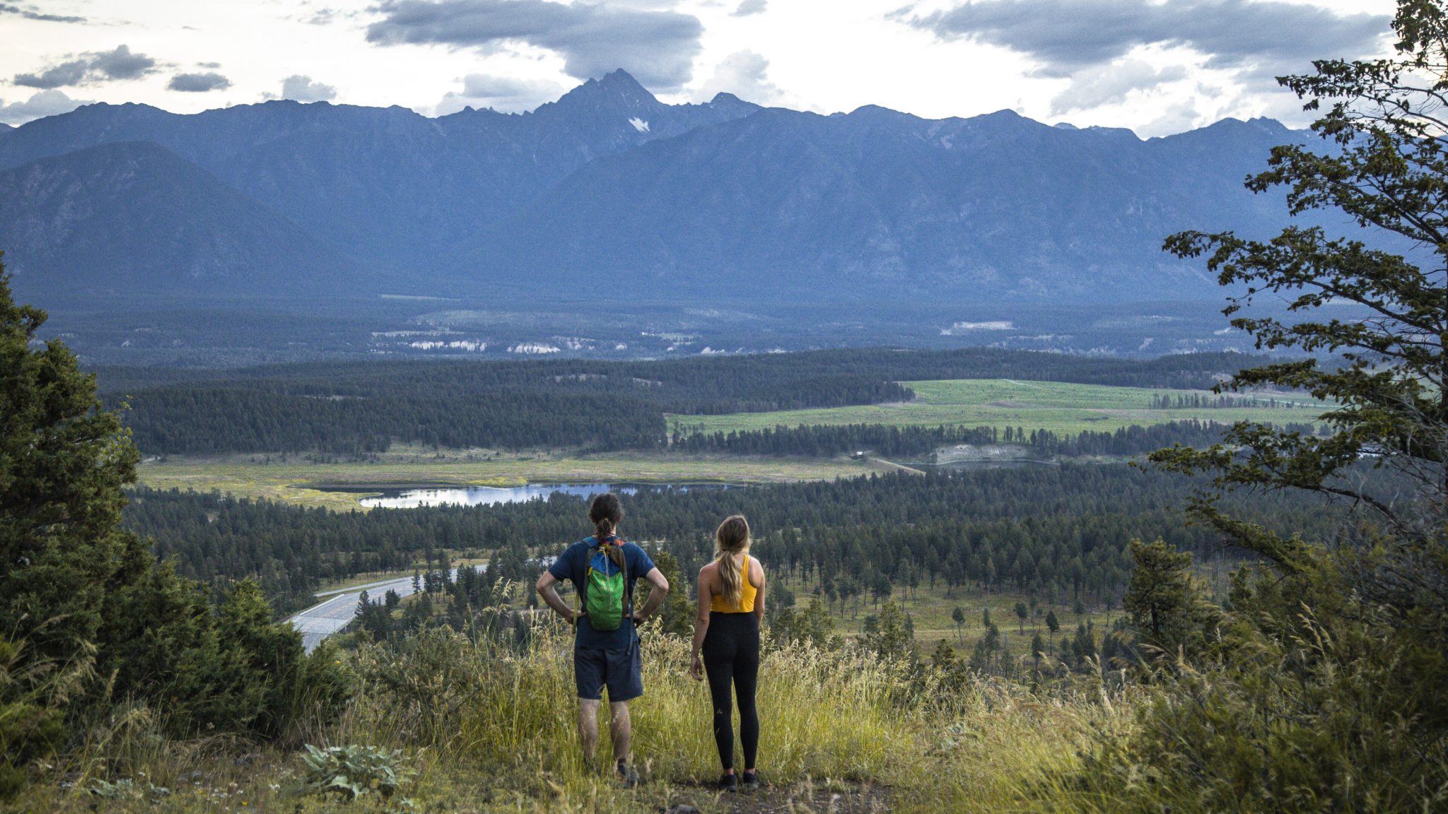
North End access includes Eager Hill, a popular 1.5-kilometre walk to a former fire lookout site with wide views of the valley and the Rockies. Parking is available just uphill from the highway near the base of a rock bluff along Highway 3/95 toward Fort Steele.
Trails can also be accessed from behind the College of the Rockies residence buildings, leading into the forest and toward Sylvan Lake.
USING THE FOREST RESPONSIBLY
Some trail sections, particularly near the Big Tree area, cross private land. Staying on established routes is essential. The forest is an active shared space, shaped by recreation, conservation, and stewardship.
Suggested routes and current trail conditions can be explored through Trailforks, which offers up-to-date mapping for hiking and riding options.
A COMMUNITY-LED LANDSCAPE
The Cranbrook Community Forest is managed by a non-profit society and maintained largely through volunteer support. Ongoing care helps protect the area’s sensitive ecosystems while keeping it open for public use.