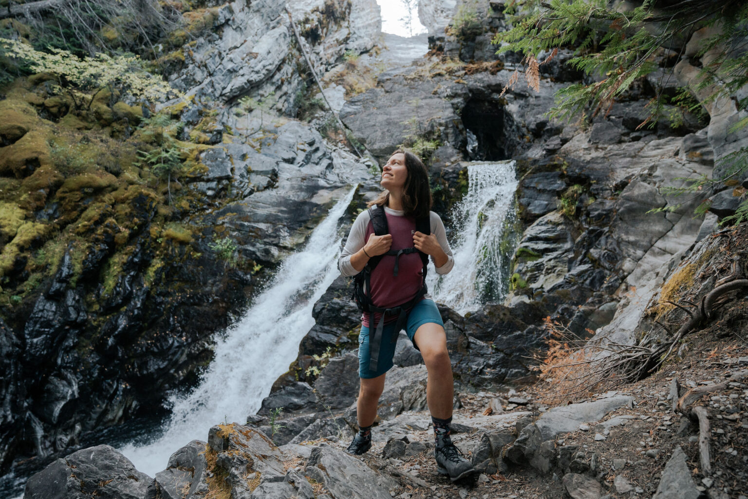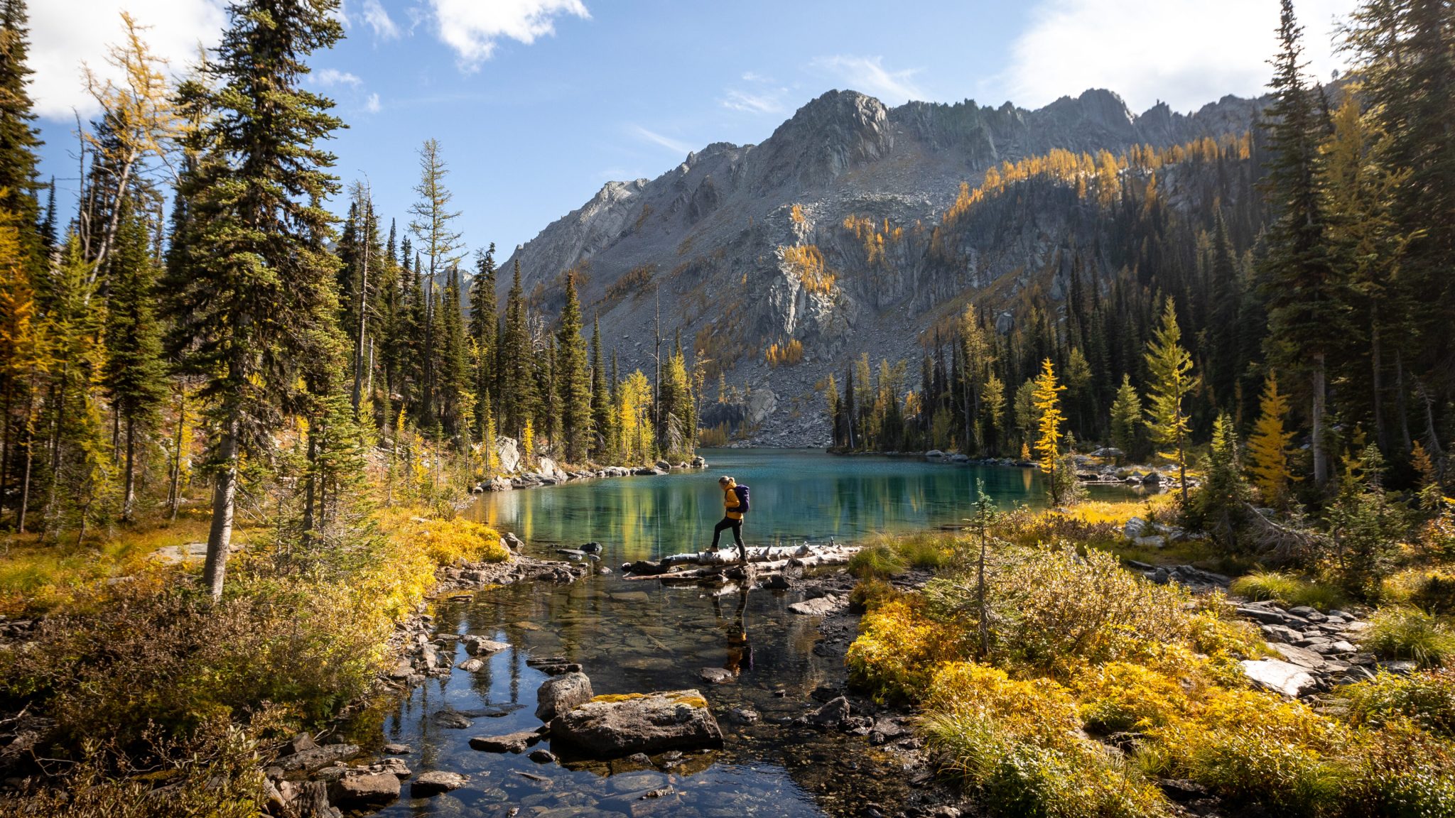
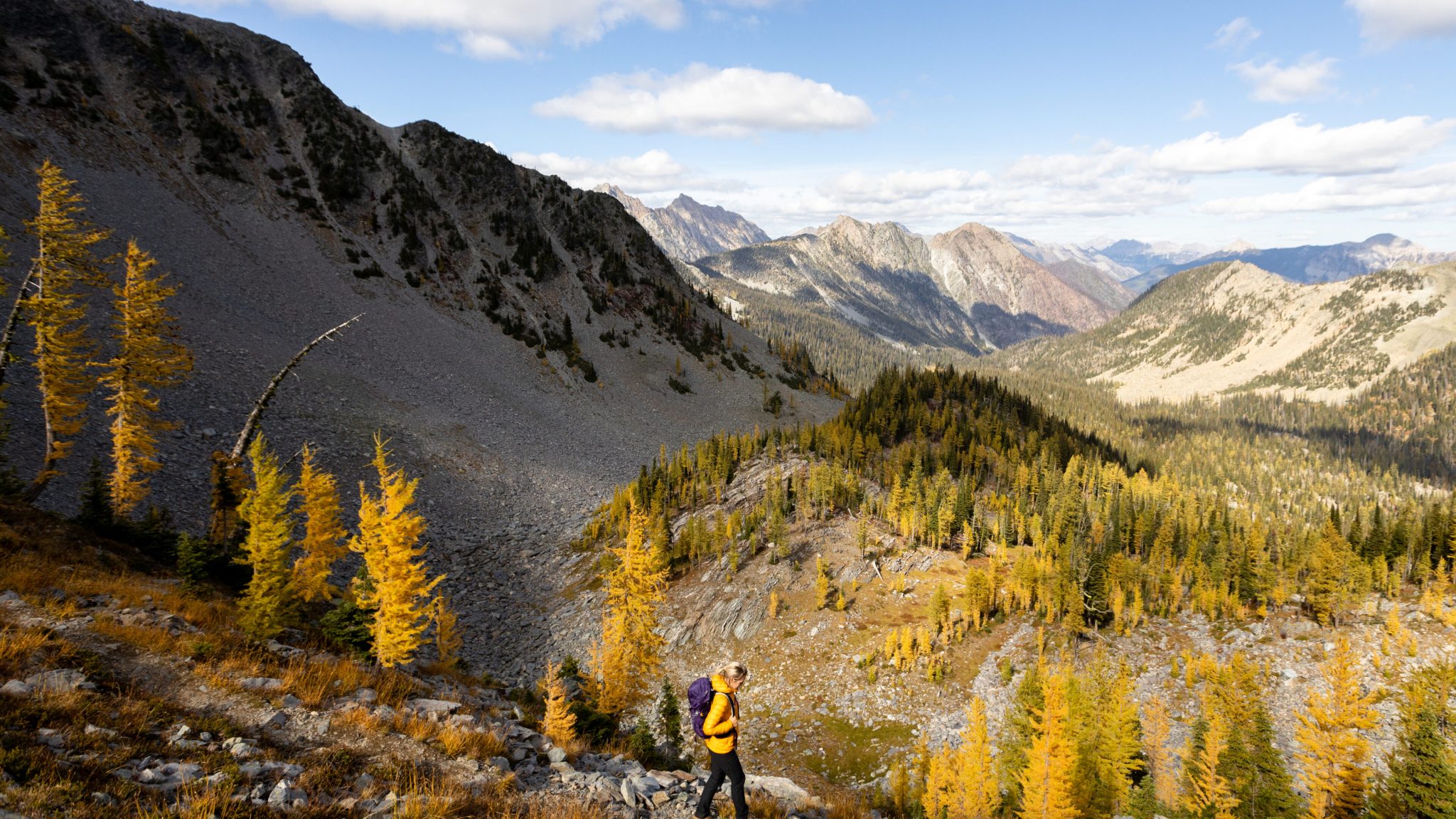
The Mause Creek Tarns and Tanglefoot area are located high in a Rocky Mountain basin above the Wild Horse River drainage. The lower portion of the hike leads to the Mause Creek Tarns, a group of shallow alpine ponds set in open subalpine meadow at an elevation of approximately 2118 m (6,950 ft). These tarns are surrounded by larch and fir trees, low shrubs, and broad meadows that fill with wildflowers during the summer months.
For many hikers, the tarns serve as an ideal turnaround point for a half day outing. For those with more time and experience, the route continues beyond the tarns, climbing steeply through talus and scree to Tanglefoot Pass and onward to Tanglefoot Lake. This upper section adds elevation, distance, and exposure, transforming the outing into a more demanding alpine hike.
Trail Details
- Distance to Mause Creek Tarns: 3.1 km one way
- Elevation gain to tarns: 405 m (1,330 ft)
- Tarns elevation: 2118 m (6,950 ft)
- Tanglefoot Pass elevation: approximately 2345 m (7,700 ft)
- Difficulty: Moderate to difficult depending on turnaround point
- Estimated time: 3 hours return to tarns, longer if continuing to the pass or lake
The trail begins on an old road and well defined path with multiple creek crossings early on. One crossing is bridged, while another requires stepping across rocks and may result in wet boots during higher water. The trail is wide and easy to follow, passing through avalanche debris areas before opening into lush alpine meadow terrain near the tarns.
Two trail options lead to the tarns. One follows a scenic creekside route through open meadow and forest. The other is a steeper forested route that switchbacks uphill. Both routes reconnect in the lower meadow near the tarns.
Beyond the Tarns to Tanglefoot Pass
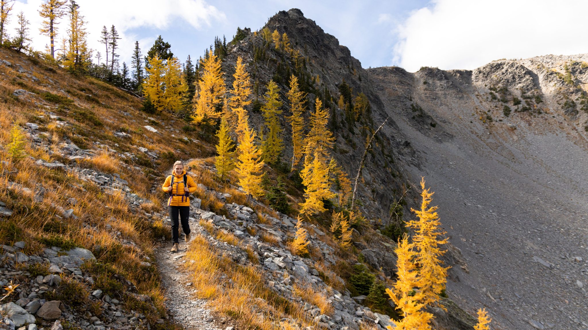
North of the final tarn, the trail to Tanglefoot Pass leaves the valley bottom and climbs sharply up a talus slope. This section is steep and loose, gaining significant elevation over a short distance. Cairns and a defined tread mark the route as it ascends toward the pass.
From Tanglefoot Pass, hikers are rewarded with expansive alpine views and the option to descend into the basin containing Tanglefoot Lake. This upper terrain is fully alpine and requires confidence on scree and uneven footing. Weather can change quickly at elevation, and snow may linger well into summer.
Seasonal Notes and Wildlife
Early summer brings avalanche lilies and other alpine wildflowers to the meadows surrounding the tarns. Late July and early August are typically peak bloom periods, depending on snowpack and weather conditions.
This area is known grizzly bear habitat, particularly in early summer when bears dig for edible roots in the meadows. Hikers should make noise, travel in groups when possible, and carry bear spray.
Access and Directions
High clearance or 4WD vehicles are required for the final access road.
- Head north on Highway 3, then take Highway 95 following signs for Fort Steele.
- Shortly after Fort Steele, turn right onto Wardner Fort Steele Road.
- Cross the Wild Horse River and turn left onto Mause Creek Road.
- Within 1 km, ignore the Dead End sign and continue left toward the mountains.
- At the first major junction, stay left on Boulder Creek Road.
- Continue past the Mount Fisher trailhead.
- The road ends at a large graded parking area at approximately 13 km.
Motorized vehicles are not permitted beyond the parking area.