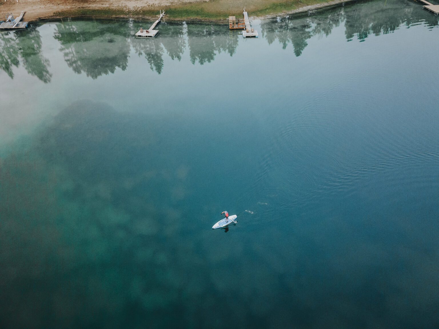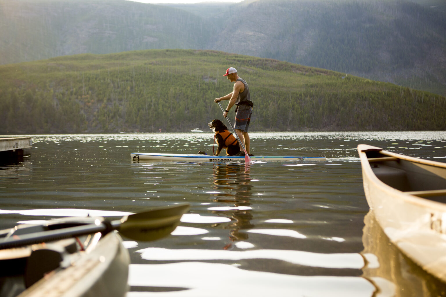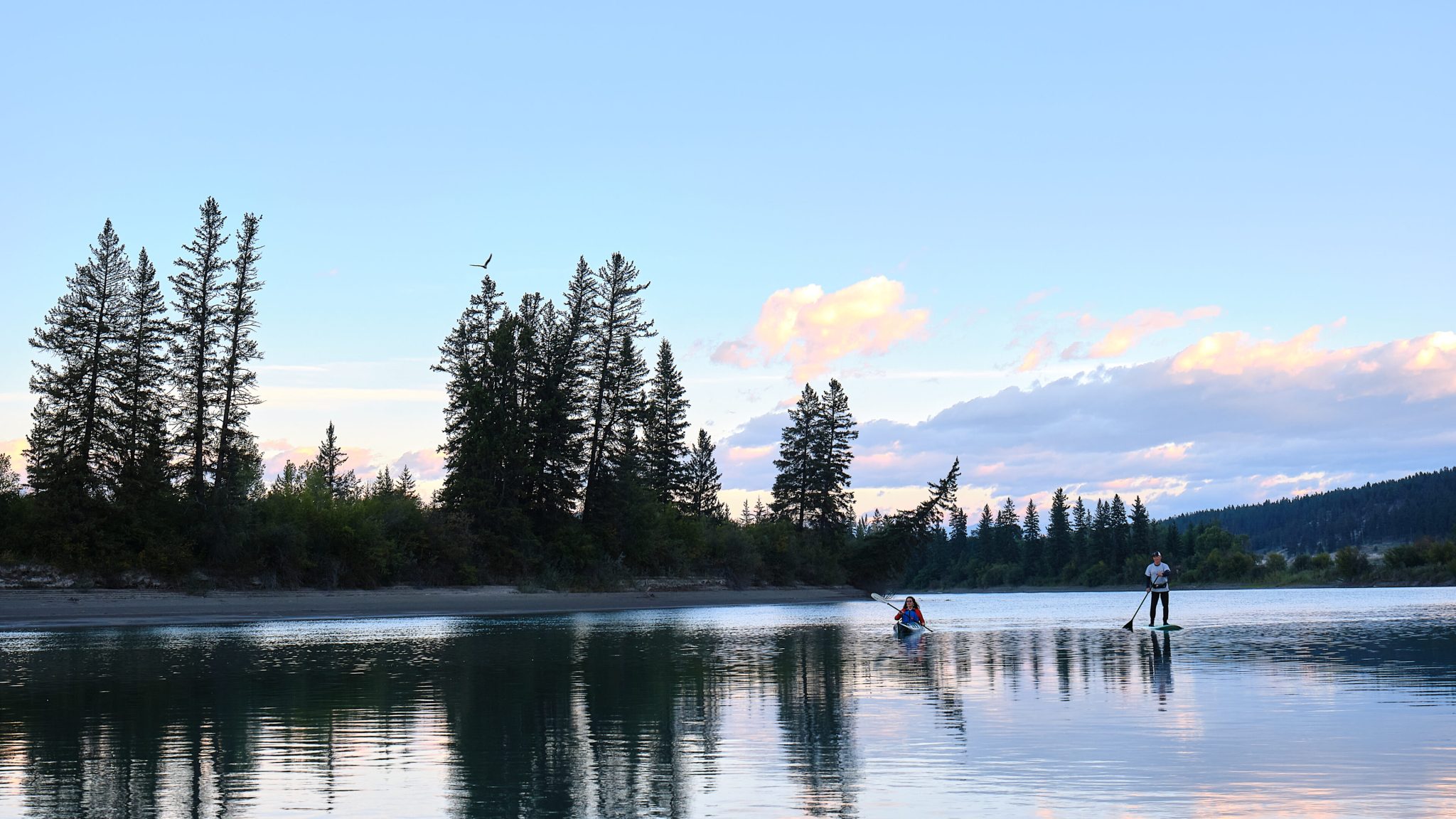
Flowing south from Canal Flats past Fort Steele and onward toward Cranbrook, the Kootenay River is known for its slow, meandering character and broad valley setting. Most of the river is Class 1, with occasional Class 2 features during higher spring flows, making it ideal for beginners and intermediate paddlers looking for a scenic and low stress experience.
River levels are typically highest from late May through June, depending on snowpack. During this period the current moves faster and allows for long, enjoyable day floats. Paddlers should remain alert for hidden deadheads and root balls lodged beneath the surface, especially in deeper sandy sections where floating wood often collects.
Paddling Highlights
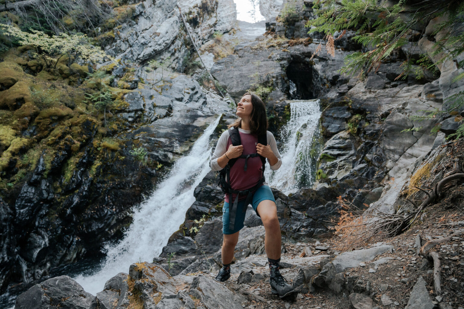
The Kootenay River is a top choice for families and recreational paddlers due to its calm stretches, wide channels, and abundant wildlife. Osprey, deer, and waterfowl are commonly seen along the shoreline, with elk occasionally appearing near quieter sections.
Channels may split and rejoin along the route, offering multiple navigation options for those comfortable reading water. Sweepers and downed trees can be present, particularly near bends, and paddlers are advised to stay in the main channel where possible.
Recommended paddling sections include:
Bummers Flats near Wasa to Fort Steele
This section typically takes three to four hours depending on river levels. A few mild rapids are present near the St. Mary River confluence. Watch for a sweeper close to the Fort Steele take out.
Fort Steele to Wardner
This longer float takes approximately six hours. Paddlers should remain in the main channel, as side channels are more likely to be blocked by wood. Expect mostly calm water with occasional minor rapids.
High water season runs from late May through June. Skill level is best suited for beginner to intermediate paddlers.
Boat Access Locations
Road access to the Kootenay River is available from Highway 93/95 at both Canal Flats and Skookumchuck bridges. At each location, a road descends to the river on the north side of the bridge, allowing for canoe, kayak, or raft launches. Vehicles may be left at these access points.
Canal Flats lies approximately 69 kilometres north of Cranbrook and offers a range of amenities, including parks, a public beach, and services. Skookumchuck is located 51 kilometres north of Cranbrook at the confluence of the Lussier and Skookumchuck Rivers and provides basic services and picnic areas.
Fishing Opportunities
The Kootenay River supports healthy populations of westslope cutthroat trout and bull trout. Fishing conditions vary along the river.
North of Canal Flats, the river is faster flowing with limited access, often requiring logging roads or bush travel. Where the river runs through Kootenay National Park, a park permit and valid fishing license are required.
South of Canal Flats, the river slows and warms, with easier access where it parallels the highway. This section flows through more populated areas and may have seasonal closures. Anglers should consult the BC Freshwater Fishing Regulations for current rules and restrictions.
The best fishing typically occurs from April through late May, and again from late August through October, when water levels are lower and clearer.
History of the Kootenay River
The Kootenay River has played a vital role in the history of the region for thousands of years. Indigenous peoples used the river as a travel corridor long before European exploration. In 1808, explorer David Thompson traveled the river to establish trade routes and map the region, ultimately leading to his discovery of the Columbia River mouth.
In the late 1800s, the river became a key transportation route for sternwheelers carrying ore and supplies between British Columbia and Montana before railways replaced river travel. Fort Steele grew into a major settlement during this era, relying heavily on the river for trade and movement.
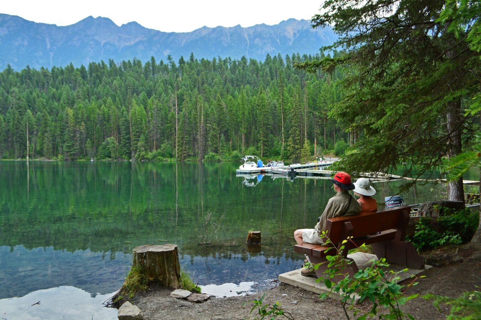
Today, the Kootenay River remains a place of recreation, history, and natural beauty, offering paddlers, anglers, and visitors a chance to experience the landscape much as early travelers once did.