A STEADY WALK TO A QUIET SUBALPINE LAKE
Cooper Lake sits at the headwaters of the Moyie River, reached by a wide, easy-going trail south of Cranbrook. The route follows a former log flume corridor from the 1920s, passing through mixed forest before opening up to a calm lake surrounded by high country.
It’s one of the more accessible subalpine lakes in the area, offering a rewarding destination without technical terrain.
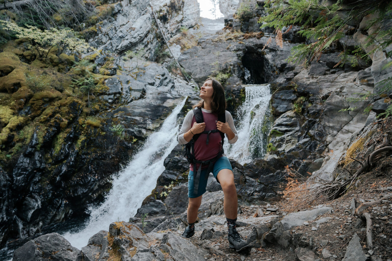
THE TRAIL
The Cooper Lake Trail is a non-motorized route in summer, covering 3.3 kilometres one way with a steady climb rather than steep pitches. Elevation gain is gradual, making the hike approachable for a wide range of abilities.
The trail surface is broad and clear, following the historic flume alignment through aspen, pine, and spruce forest. Remnants of early logging history remain visible near the lake outlet.
GETTING THERE FROM CRANBROOK
From the south end of Cranbrook, follow Highway 3/95 for 10.7 kilometres past the Visitor Centre. Turn right onto Lumberton Road and follow it as it climbs uphill beneath the power line.
At the 9-kilometre road marker, turn left onto Moyie River Road and reset your odometer. Stay right at 3.1 kilometres past Semlin Creek Road, stay left at 12.1 kilometres past the Ryder Creek junction, and stay right again at 13.9 kilometres past the powerline road.
At approximately 16.8 kilometres, park in a wide pullout along the road. The trailhead sign may be partially hidden by vegetation.
Expect active logging road access and drive with care.
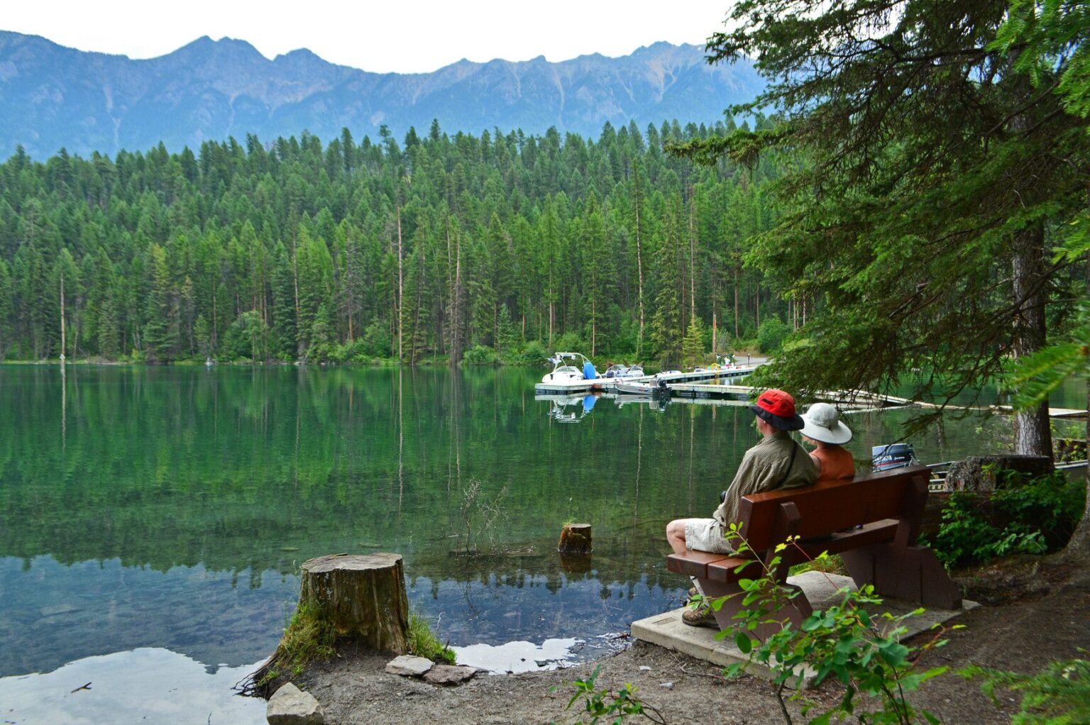
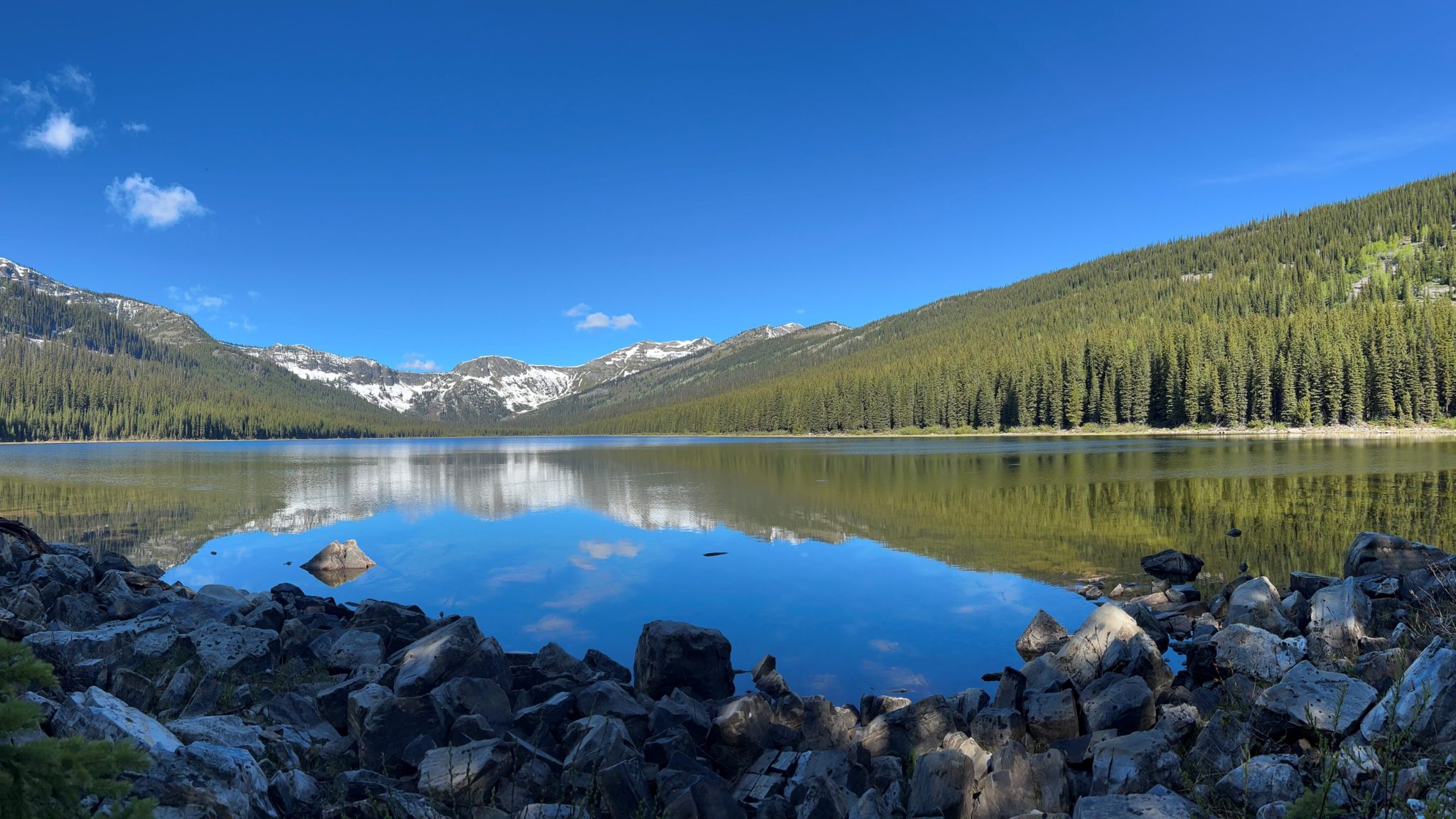
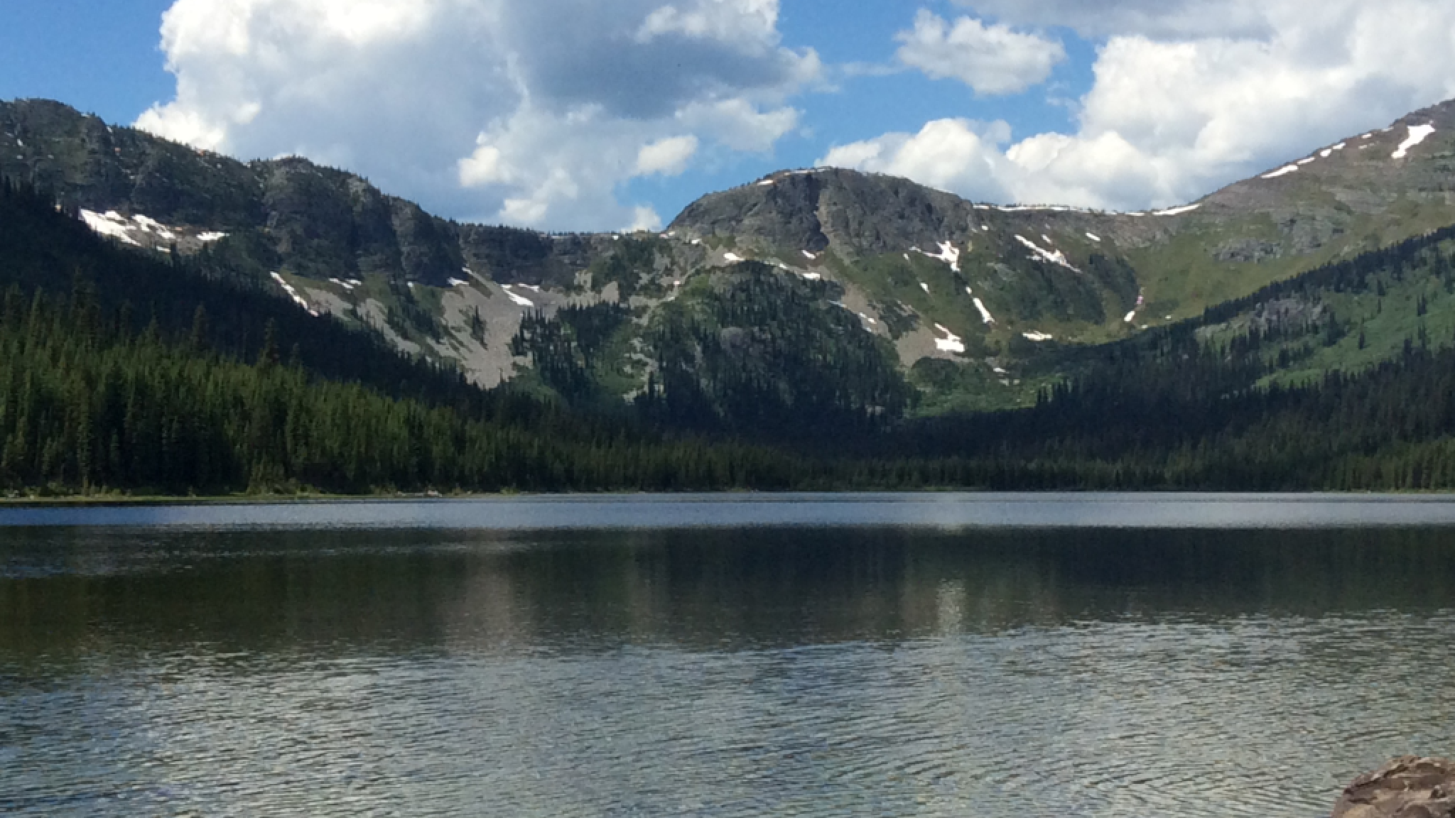
AT THE LAKE
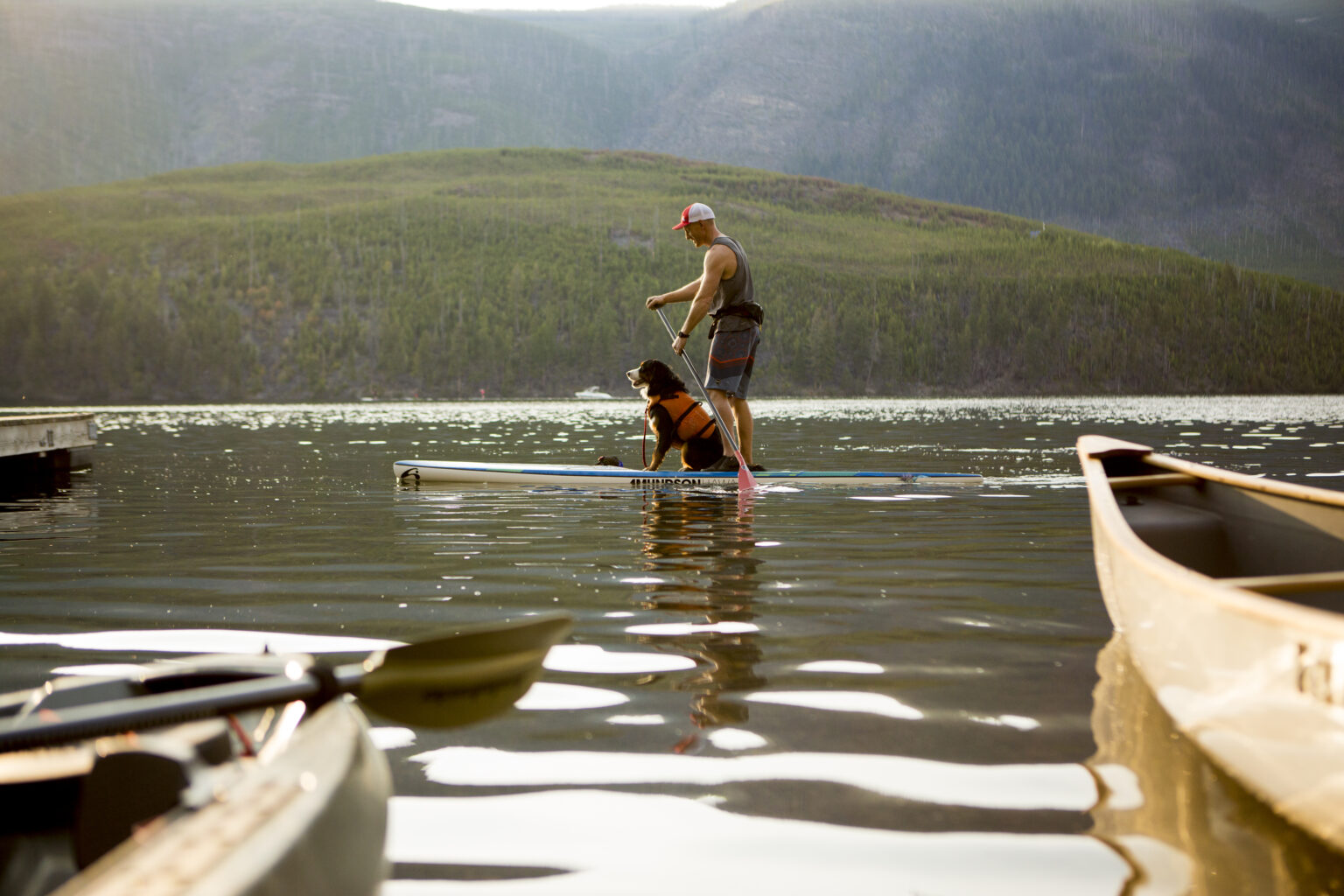
Cooper Lake feels open and quiet once reached. Anglers often spend time along the shoreline, and a small camping area sits near the remains of the sluiceway that once fed the flume carrying logs down to Lumberton.
The setting encourages lingering rather than rushing back, whether for a short break or a longer stay.
USING CRANBROOK AS A BASE
The trailhead is accessed by logging roads south of Cranbrook, making the city a natural place to prepare before heading out. Visitors are asked to be aware of active resource roads and changing conditions along the drive.
Allow time for navigation, as the trailhead can be partially hidden by vegetation.
PLANNING AND AWARENESS
Before heading out, check the trail on AllTrails and review current BC fire bans and restrictions.
Additional location details and mapping can be viewed through the Sites and Trails BC interactive map.